Både samfund og industri har en væsentlig interesse i velfungerende udendørs og indendørs mobilitetsinfrastrukturer, der er effektive, forudsigelige, miljøvenlige og sikre. For udendørs mobilitet står reduktion af trængsel højt på den politiske dagsorden, ligesom reduktion af CO2-udledning, da transportsektoren er den næststørste målt på udledning af drivhusgas.
Mængden af mobilitetsrelateret data er steget massivt, hvilket muliggør en stadig bredere vifte af analyser. Når de kombineres med digitale repræsentationer af vejnet og bygningsinteriør, rummer disse data potentialet for at muliggøre en mere finkornet forståelse af mobilitet og for at muliggøre mere effektiv, forudsigelig og miljøvenlig mobilitet.
Projektperiode: 2021-2024
Budget: 9,41 millioner kr.
The mobility of people and things is an important societal process that facilitates and affects the lives of most people. Thus, society, including industry, has a substantial interest in well-functioning outdoor and indoor mobility infrastructures that are efficient, predictable, environmentally friendly, and safe. For outdoor mobility, reduction of congestion is high on the political agenda – it is estimated that congestion costs Denmark 30 billion DKK per year. Similarly, the reduction of CO2 emissions from transportation is on the political agenda, as the transportation sector is the second largest in terms of greenhouse gas emissions. Danish municipalities are interested in understanding the potentials for integrating various types of e-bikes in transportation planning. Increased use of such bicycles may contribute substantially to the greening of transportation and may also ease congestion and thus improve travel times. For indoor mobility, corridors and elevators represent bottlenecks for mobility in large building complexes (e.g. hospitals, factories and university campuses). With the addition of mobile robots, humans and robots will also be fighting to use the same space when moving indoors. Heavy use of corridors is also a source of noise that negatively impacts building occupants.
The ongoing, sweeping digitalisation has also reached outdoor and indoor mobility. Thus, increasingly massive volumes of mobility-related data, e.g. from sensors embedded in the road and building infrastructures, networked positioning (e.g. GPS or UWB) devices (e.g. smartphones and in-vehicle navigation devices) or indoor mobile robots, are becoming available. This enables an increasingly wide range of analyses related to mobility. When combined with digital representations of road networks and building interiors, this data holds the potential for enabling a more fine-grained understanding of mobility and for enabling more efficient, predictable, and environmentally friendly mobility. Long movement times equate with congestion and bad overall experiences.
The above data foundation offers a basis for understanding how well a road network or building performs across different days and across the duration of a day, and it offers the potential for decreased movement times by means of improved mobility flows and routing. However, there is an unmet need for low-cost tools that can be used by municipalities and building providers (e.g. mobile robot manufactures) that are capable of enabling a wide range of analytics on top of mobility data.
Value creation
The envisioned prototype software infrastructure characterised above aims to be able to replace commercial road network maps with the crowd sourced OpenStreetMap (OSM) map and for indoors enable new data sources about the indoor geography. The open data might not be curated, which means that new quality control tools are required to ensure that computed travel times are correct. This will reduce cost.
Next, the project will provide means of leveraging available spatial data as efficiently and effectively as possible. In particular, while more and more data becomes available, the available data will remain sparse in relation to important analyses. This is due to the cost of data that can be purchased and due to the lack of desired data. Thus, it is important to be able to exploit available data as well as possible. We will examine how to transfer data from locations and times with ample data to locations and times with insufficient data. For example, we will study transfer learning techniques for this purpose; and as part of this, we will study feature learning. This will reduce cost and will enable new analyses that where not possible previously due to a lack of data.
Rambøll will be able to in-source the software infrastructure and host analytics for municipalities. Mobile Industrial Robotics (MiR) will be able to in-source the software infrastructure and host analytics for building owners. Additional value will be created because the above studies will be conducted for multiple transportation modes, with a focus on cars and different kinds of e-bikes. We have access to a unique data foundation that will enable these studies.
Projektet vil levere en prototype af softwareinfrastruktur, der sigter mod at kunne erstatte kommercielle vejnetkort med det crowdsourcede OpenStreetMap (OSM) og muliggøre nye datakilder om indendørs geografi.
De åbne data er muligvis ikke kuraterede, hvilket betyder, at der kræves nye kvalitetskontrolværktøjer for at sikre, at beregnede rejsetider er korrekte. Dette vil reducere omkostningerne.
Kommunen.dk, March 2, 2023


Aarhus University
Department of Computer Science
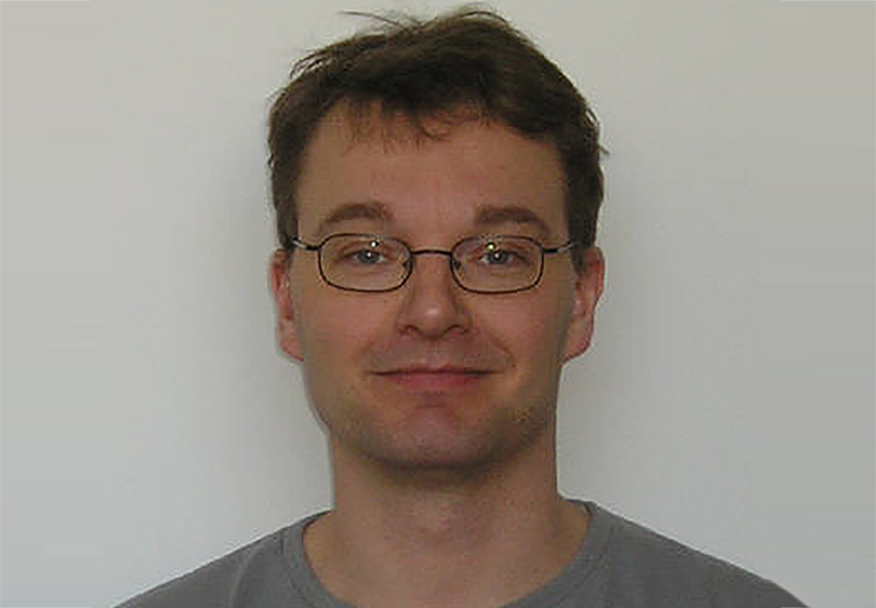
Aalborg University
Department of Computer Science

Aalborg University
Department of Computer Science

The Alexandra Institute

The Alexandra Institute

The Alexandra Institute
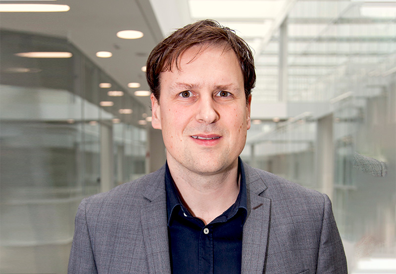
University of Southern Denmark
The Maersk Mc-Kinney Moller Institute

University of Southern Denmark
The Maersk Mc-Kinney Moller Institute

University of Southern Denmark The Maersk Mc-Kinney Moller Institute

Rambøll

Rambøll
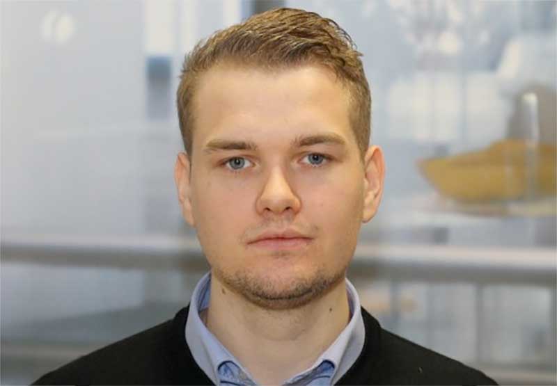
Rambøll

Rambøll

Rambøll

Mobile Industrial Robots

Aalborg University
Dept. of Computer Science

Aarhus University
Department of Mathematical Science

University of Southern Denmark
The Maersk Mc-Kinney Moller Institute

Aalborg University
Department of Computer Science


